MAPDOG
An Android mobile app for mapping lost or abandoned and found dogs in Rio de Janeiro
Skills
Mobile Design
UI/UX Design
Print Design
Team
Me – Product Designer
1 Graphic Designer
1 Design Specialist (Mentor)
Tools
Adobe Photoshop
Adobe Illustrator
Adobe InDesign
Invision
Year
2018
Duration:
6 months
Brackground
MAPDOG is a project that aims to cooperate with the solution regarding lost and abandoned dogs in the city of Rio de Janeiro, Brazil. The project proposes a collaborative Android mobile app for dog mapping and social engagement to encourage dog rescues and adoption. It combines geolocalization, gamification, user experience principles and UI design to offer an accessible and user-friendly experience.
Problem
It was estimated in 2014 by the World Health Organization (WHO) that in Brazil there are more than 30 million abandoned animals, among 10 million cats and 20 million dogs.
The problem includes the following below:
– Uncontrolled reproduction of stray dogs
– Transmission of diseases and parasites to animals/people
– Impunity and soft laws for the guilty
– Latent social inequality in the country
Solution
A mobile platform to map stray dogs in real-time through geolocation and facilitating communication between citizens, non-profit organizations and other businesses.
Define & Ideate
First, a relevant problem was identified: Brazil ranks second in the population of canines and felines in the world. It has 132.4 million pets, divided into 52.2 million dogs, 37.9 million birds, 22.1 million cats, 18 million fish and 2.21 million other small animals (IBGE, 2013).
Through these data, it becomes possible to identify the population of species in evidence in the national territory, and it can be said that dogs are the domestic animals in greater quantity in the country.
Target Audience
A quantitative digital survey was conducted to gather data about the target audience. The first survey consisted of 17 questions about demographics, empathy with animals, the use of the internet on the smartphone and privacy on social networks. It was available from April 19, 2014, until April 25, 2014, obtaining 105 responses in total. It obtained 171 unique visits with 61% participation. Each interviewee took an average of 6:07 minutes to answer it, using a PC or laptop (54%) and a smartphone (36%).
A persona and empathy map was developed for this project to delimit the target audience of people aged between 19 and 35 years, any gender, Android users, lower social classes and students, people that don’t have a car or prefer to walk daily, who live in the metropolitan region of Rio de Janeiro.
Studies & Planning
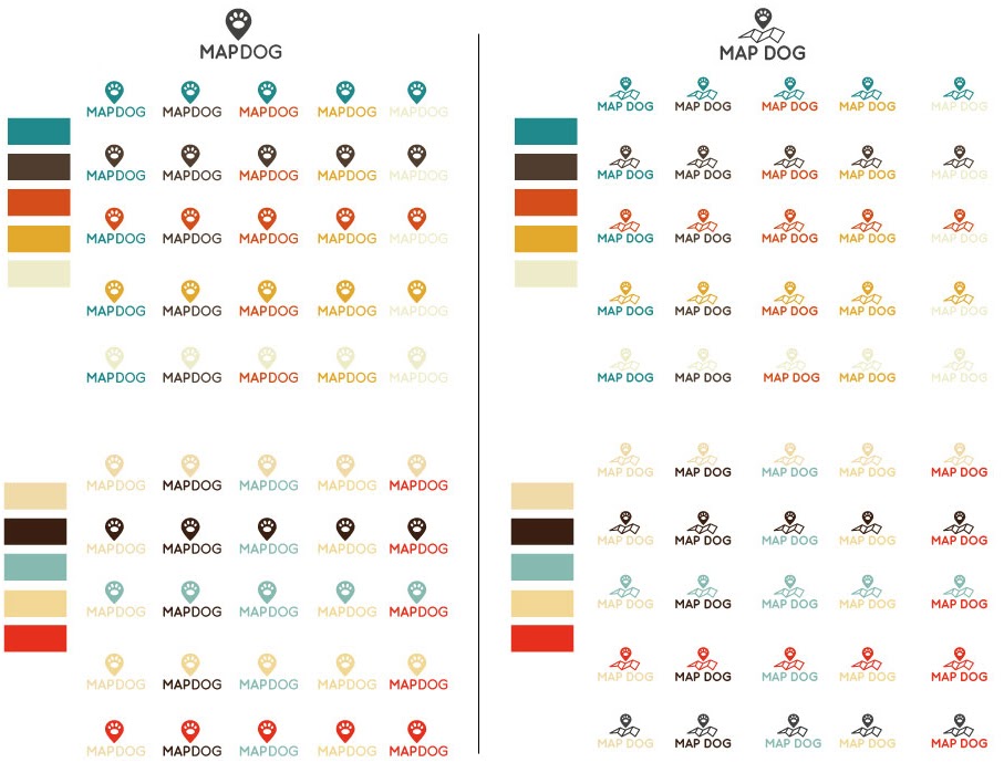
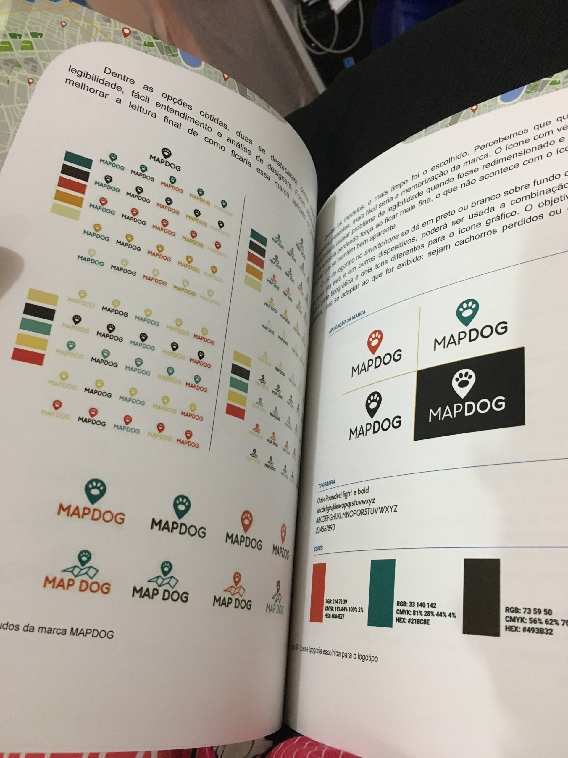
The new app needed a name and branding design. Brainstormed 55 names and 12 were selected. MAPDOG with the two words united and in capital letters was the chosen one considering readability, ease of pronunciation, ease of writing, short size, extensive knowledge, easy memorization and availability of registration. The app’s name describes the main core function which is mapping dogs. Both words in English but very popular in Brazil.
The application aims to allow users to, through their smartphone, geographically map an animal that they may have spotted on the street. This geographic mapping takes place with the use of the Google Maps API for Android. If the user wants to add content, it is named an “Event/Occurrence”. It consists in 4 basic elements:
- Date of creation of the occurrence;
- Visual identification;
- Geolocation; and
- Detailing.
The “Mapping” is created by the user as a form to the system search database to find similarities with other occurrences. From this definition, an occurrence does not correspond to the unique record of loss or finding of an animal, but to the moment when a user was able to identify and locate a specific animal, inserting some visual identification and its details in the application.
- That the same animal can appear in several occurrences, but in different geolocations;
- That the same animal can appear in several occurrences, but in equal geolocations; and
- What different animals can be found in the same geolocations.
Other features are: favoriting a dog, playing games to help the system to check the authenticity of photos, messaging users, adding friends and ranking the most active users to generate competitiveness.
Each dog occurrence has the required elements following below:
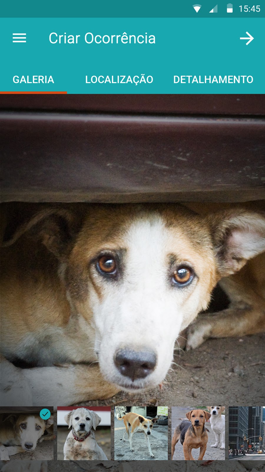
- Visual identification: A digital image of the animal inserted during the registration of the occurrence. The application will accept the capture of the photo at the instant of the creation of the occurrence or using images that were previously stored on the user’s device, in the gallery.
- Geolocation: Also known as geotagging, it is the crossing of latitude with longitude. With this information it is possible to define any physical point across the globe using GPS technology. At the instant of the occurrence creation, a geolocation must be defined as the physical point at which the animal was sighted. The set of physical points generated from the geolocation will allow it to carry out the mapping of the animal and recreate the path it took during the course of time.
- Detail: This element of the occurrence corresponds to a series of specific information regarding the animal and the occurrence itself, they are:
- Physical details of the animal:
- Colour;
- Size;
- Breed;
- Genre; and
- Situation (health and etc.).
- Animal owner;
- Current guardian of the animal; and
- Author of the occurrence.
For the application, based on the final user flow, it was possible to identify the amount of needed main interfaces that are the following:
Welcome/Splash/Loading screen
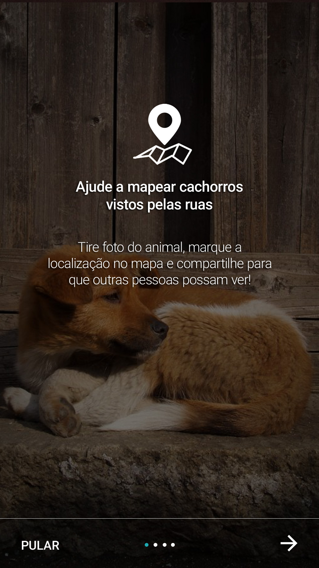
On boarding
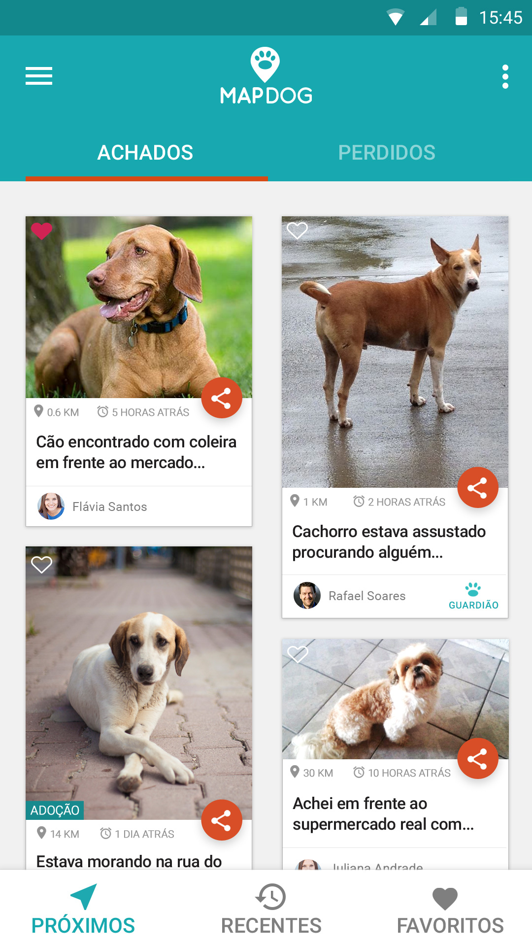
Photo gallery of Events
List of occurrences on the map
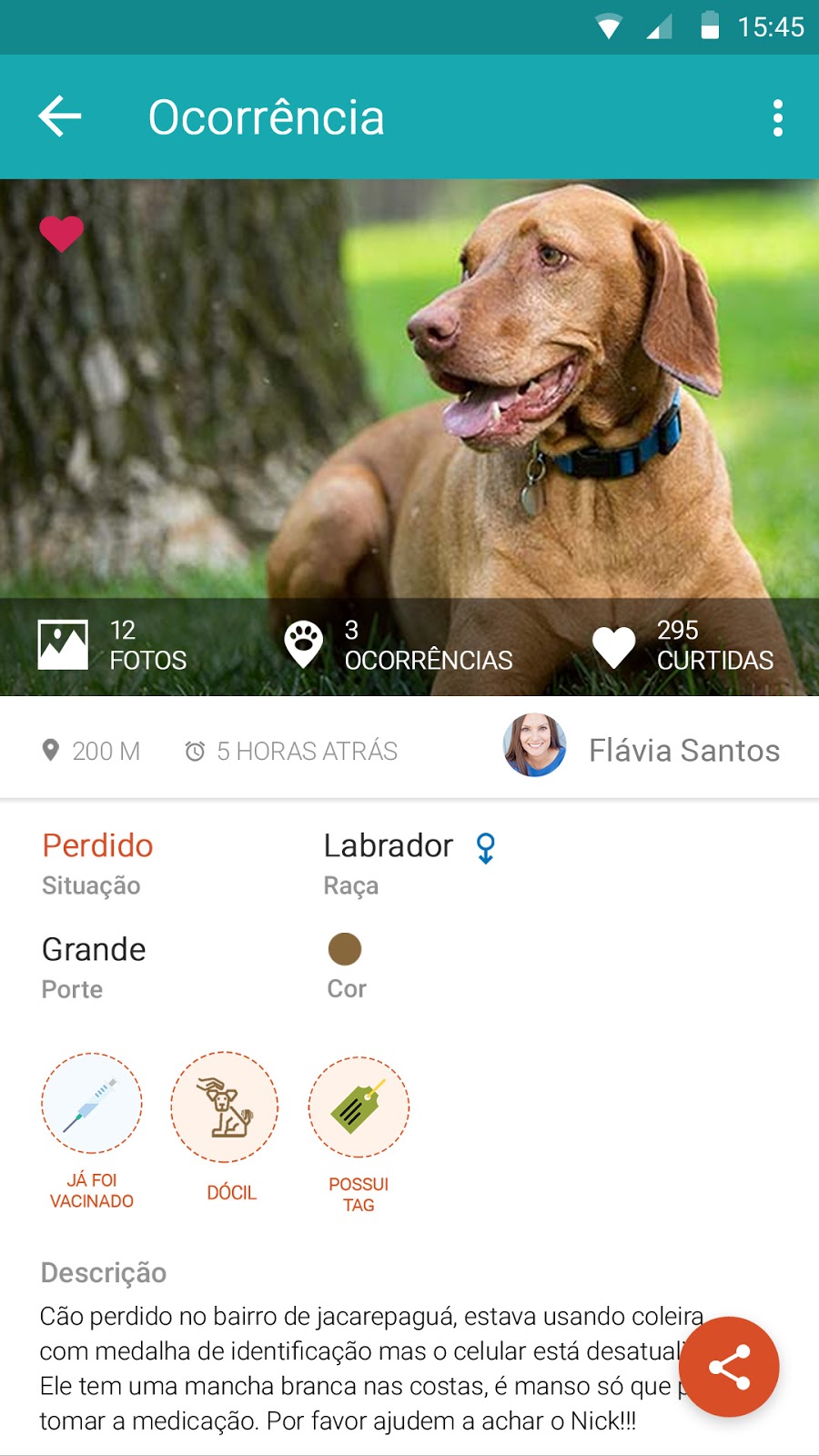
Single Occurrence
Add Occurrence
Animal details
User Profile
Friends List
Messages
Achievements
My Events
Settings
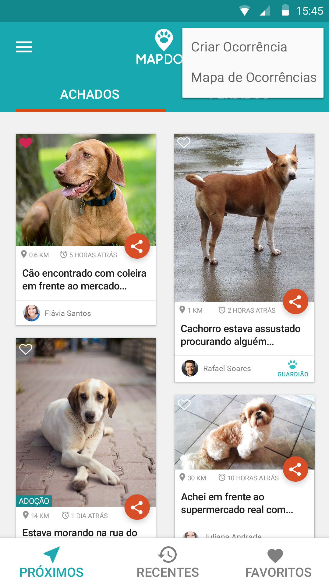
The word “Event” refers to when a user creates a new entry adding a dog to the system database. So, it is possible to view all events by distance and time in a list or map format.
Implementation
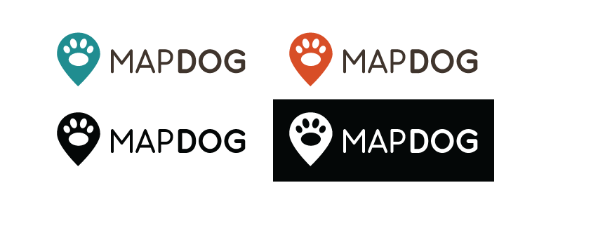
The new app needed a name and branding design. Brainstormed 55 names and 12 were selected. MAPDOG with the two words united and in capital letters was the chosen one considering readability, ease of pronunciation, ease of writing, short size, extensive knowledge, easy memorization and availability of registration. The app’s name describes the main core function which is mapping dogs. Both words are in English but are very popular in Brazil.
Implementation
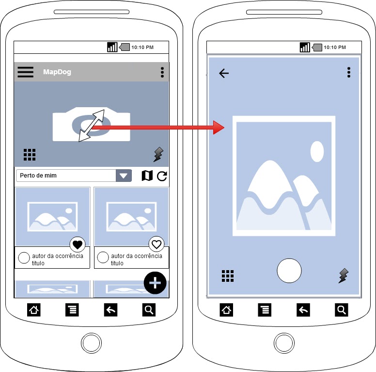
After sketches, the first low-fidelity wireframe was designed to help us simulate different user flows. The need for changes was there. For instance, we first thought that having the smartphone camera open right away could help users to take a photo faster, but that idea could make users confused and the app slow to load.
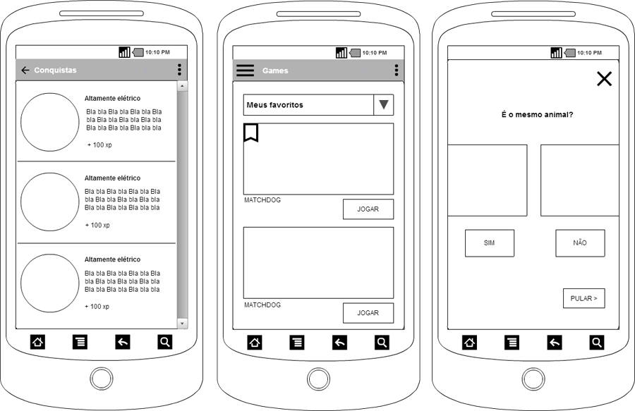
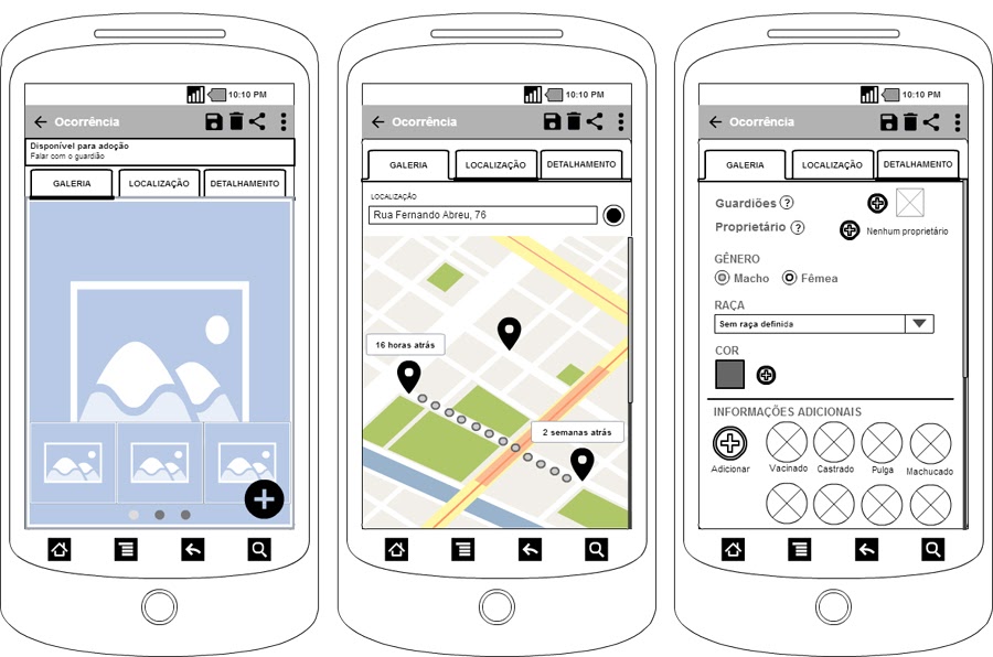
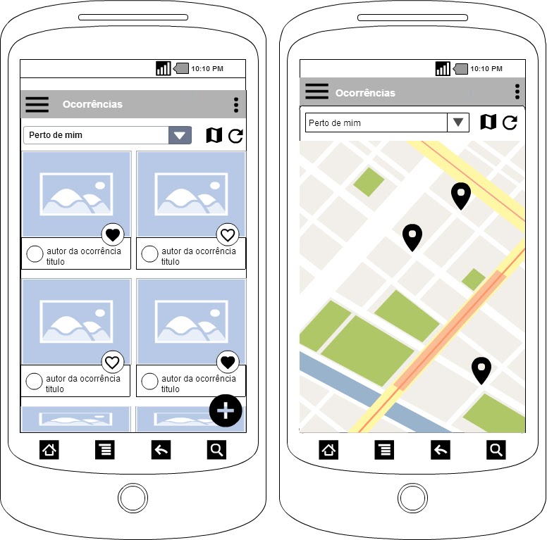
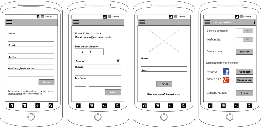
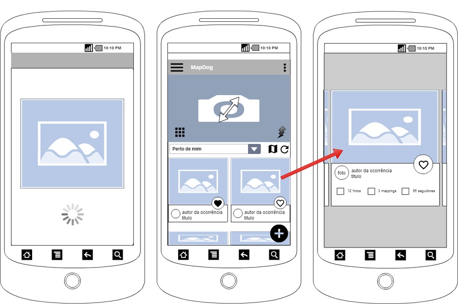
See more sketches and studies by clicking here.
For a better visualization of elements, a second wireframe was designed using Android components. With Material Design iconography is possible to see what is working and what need to be improved. Also rethink feasible functionalities of the future prototype.
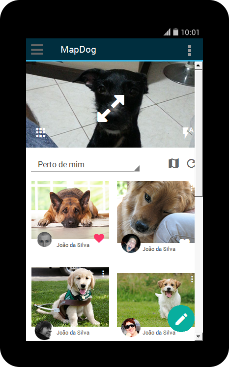
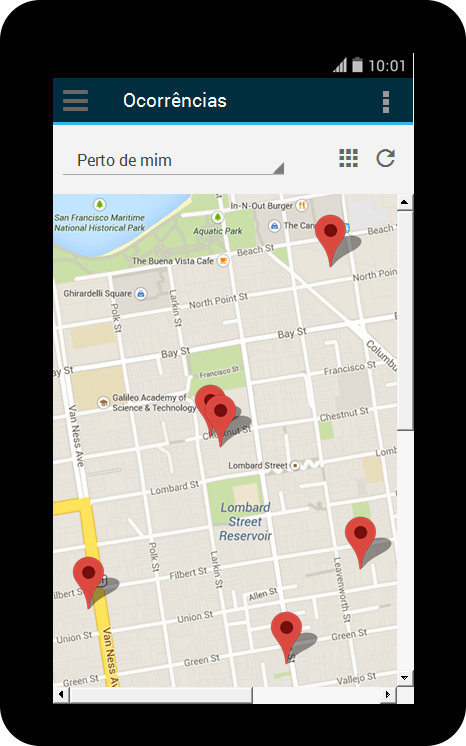
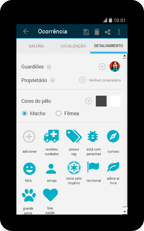
See more sketches and studies by clicking here.
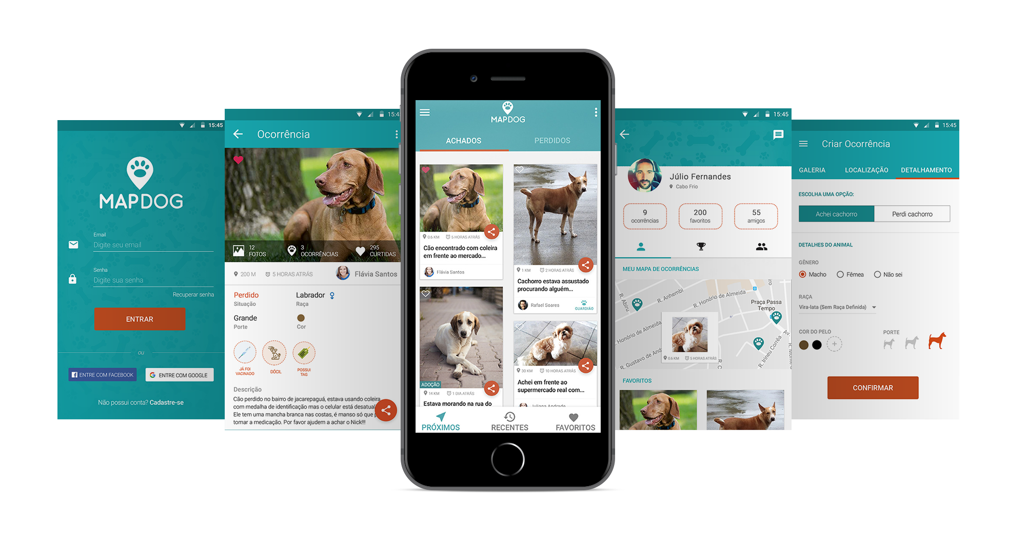
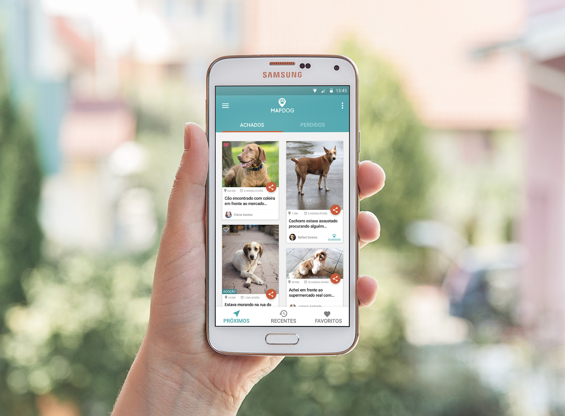
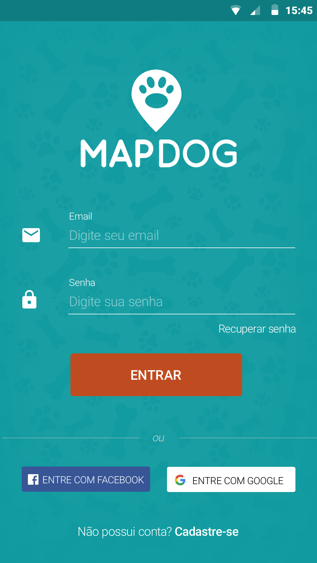
After trying and adjusting previous wireframes, it was possible to design the final digital prototype. It has 53 screens designed with Adobe Photoshop and Material Design components to make the prototype realistic considering real typefaces, font-sizes, white space and more.
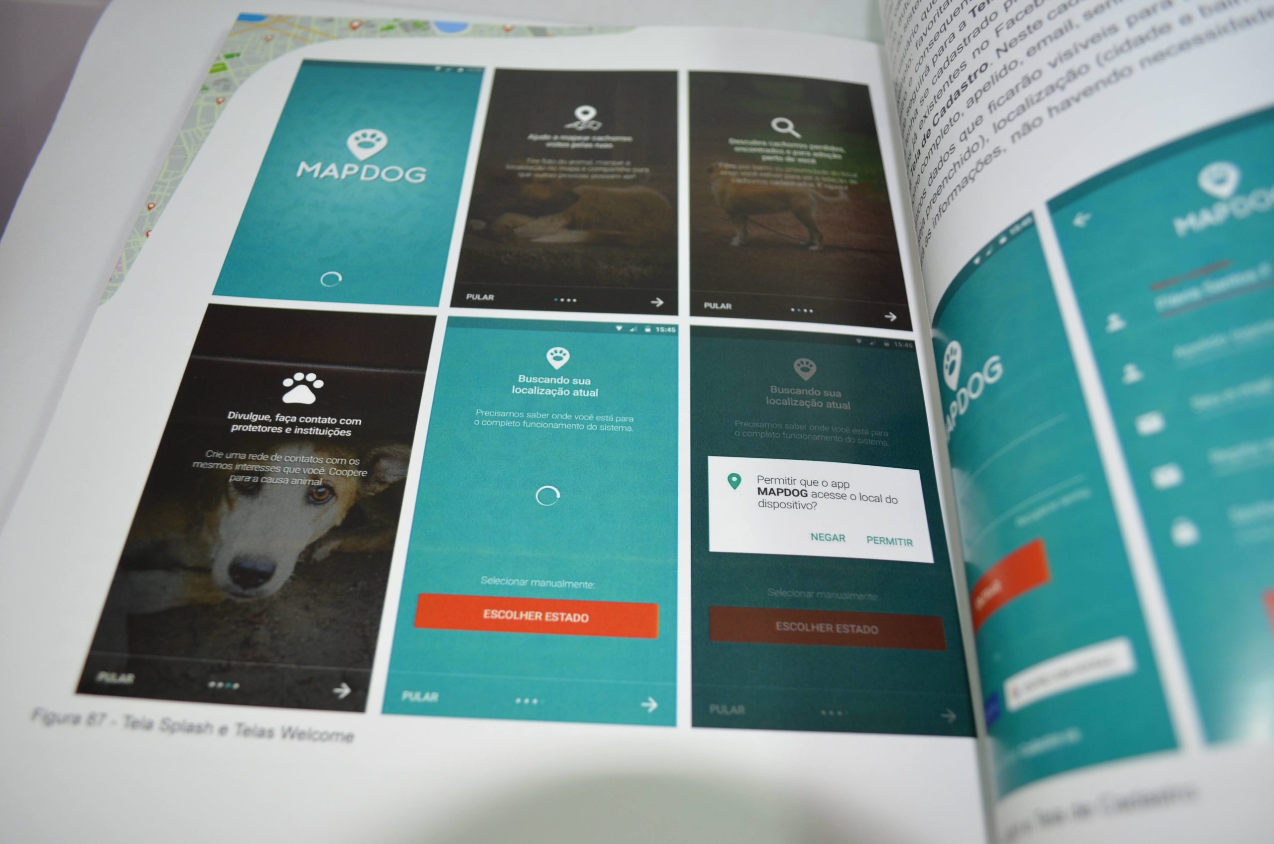
The project also included a presentation and a book with more than 100 pages reporting all process of MAPDOG creation.
I believe the prototype has a potential to be developed and tested by users in order to improve it’s usability. Some premium features should be included to create revenue opportunities. MAPDOG was designed in Portuguese for Rio de Janeiro citizens, but the idea can be applied at other countries that share the same problem as Brazil.
FINAL DELIVERABLES
The deliverables were the following:
– A digital android app prototype.
– High-fidelity wireframes.
– User research and competitors analysis.
– Branding design for a new mobile app
– A 100+ pages book report including all MAPDOG project info.